BENGALURU, November 24, 2016 /PRNewswire/ —

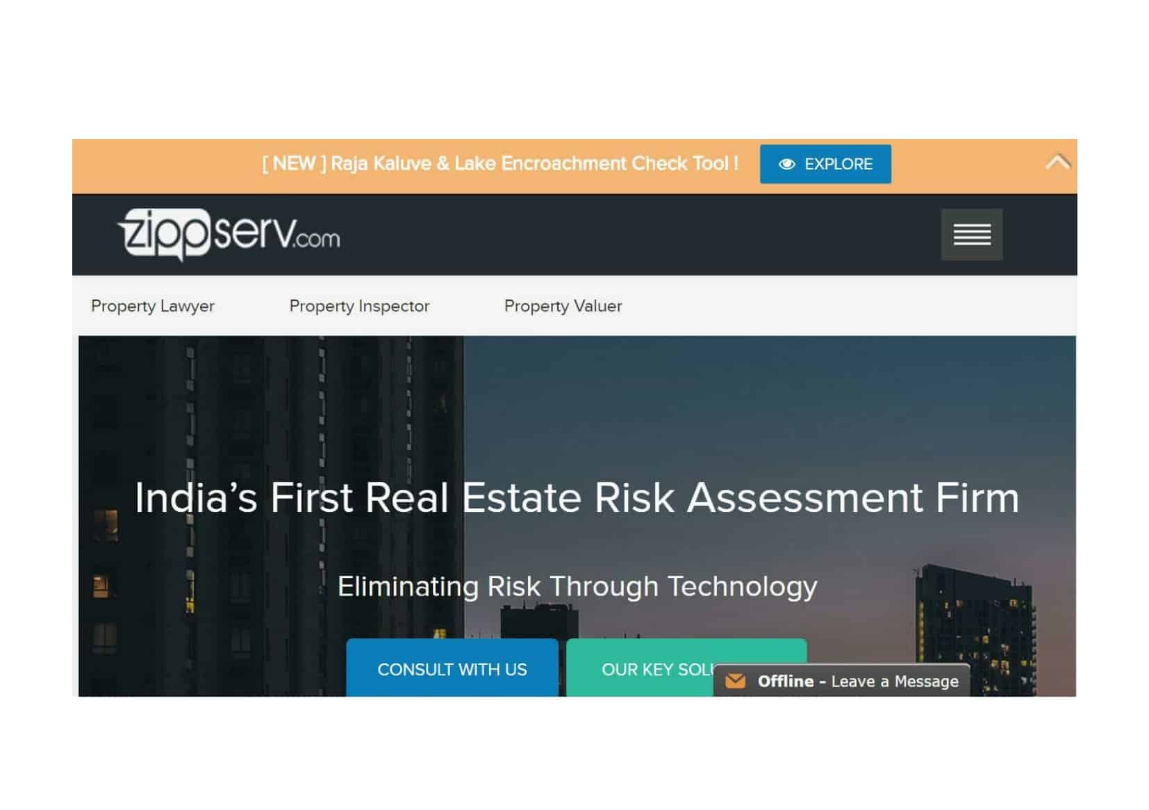
ZippServ, India’s first real-estate risk assessment firm, launched a free Google Map-based risk assessment tool ZippServ Protect, to help Bengalureans assess encroachment and other information required when evaluating properties.
The free-for-all tool based on Google Maps, uses intuitive, easy-to-use features to mark rajakaluves and lake encroachments based on BBMP’s revenue map. The tool uses a responsive theme and has been optimized for a smoother user experience even on mobile platforms. Users can search for and download relevant information from about 50 GB data in a matter of seconds.
It took the ZippServ team about six months of intensive groundwork, including visits to civic bodies supported by research to put together the information spanning over 800 sq. km within the city. The tool can easily highlight primary and secondary drains and help users to measure the width of a rajakaluve and extent of encroachment, and much more.
ZippServ Protect is particularly relevant to Bengalureans in light of the recent demolition drives by the local civic body, the Bruhat Bangalore Mahanagara Palike (BBMP). The drive saw hundreds of homes and buildings being razed to the ground, while thousands of others were marked as encroached properties. Home-owners and tenants were rendered homeless overnight and their hard-earned investments came to naught.
ZippServ Co-founder & CEO, Sudeep Anandapuram, said, “We had developed this originally as an in-house tool as part of our overall risk assessment for our existing customers. But we soon realized that the true potential could be realized only by making it available to all and in helping the larger public identify encroached properties. We are currently in the process of adding more unrecognized layouts, land acquisitions in peripheral ring roads, litigations and other city planning parameters, etc. We also believe that the idea of the tool is in line with PM Narendra Modi’s efforts in creating more transparency and accountability in the real-estate sector.”
How to use ZippServ Protect:
– Access bit.ly/2f34Qbq
– Type in the location in the tool’s search box
– Right click on the property to load revenue map in 500-meter radius
– Use the inbuilt ruler to measure distance between location and drain/ lake
– Help features are available to assist new users
Some highlights of ZippServ Protect are:
– The tool is currently available in Bengaluru and covers over 800 sq. km of the city
– Rajakaluves and lake encroachments are based on BBMP’s revenue map
– Unrecognised layouts, land acquisitions for peripheral ring roads, litigations and other city-planning parameters are likely to be available in the future
– The tool is free-for-all and easy-to-use, and loads required details in a matter of seconds. This saves potential home owners a lot of time and money
ZippServ Launches Zippserv Protect – A Property Risk Assessment Tool


